OrbiVigil One
The unified platform: every hazard product, every data layer, one consistent map and event model.
From orbit to action
OrbiVigil fuses thermal, optical, radar and weather satellite data into one confidence-scored picture of unfolding wildfires — so agencies, insurers and citizens act on verified events, not raw pixels.
— active fire detections across monitored countries in Europe and Canada right now
We build the Agentic World Engine (AWE) — a living world model of a territory: its geology, water, ground motion, fire, weather and official risk, measured from orbit and kept current. AI agents and Physical AI — drones, ground robots — read that model and act on it.
Orbi answers from figures we actually serve, with their source and their date — and says so plainly when a product is institutional and not public. Orbi is the name of an assistant, not of a model.
Every hazard product runs the same pipeline: raw satellite signal in, a verified, decision-ready picture out.
Thermal, optical and radar sensors flag anomalies — a hotspot, a rising water level, ground deformation — within minutes of satellite overpass.
Multiple independent sources are cross-checked against each other and against known false-alarm sources to produce one confidence-scored event, not scattered pixels.
A physics-informed digital twin projects how the event will evolve — fire spread, flood extent, storm track — with uncertainty made explicit, not hidden.
Analysts validate the picture and OrbiVigil sends email alerts Live and decision-support briefings to authorities, insurers and response teams. Unified CAP 1.2 alert delivery Planned.
Every OrbiVigil product shares the same detection, fusion and alerting core — only the sensors and models are hazard-specific. Each status below is the status the platform itself publishes.
Wildfire detection, spread forecasting and aerial decision support, from ignition to containment. Click through to the live public fire map for Europe and Canada.
Flood extent mapping and early warning from all-weather satellite observation and hydrological forecasting. Live now for Europe, on European Union open data.
Official severe-weather warnings relayed with their own attribution and update time — from the official national services of each country we cover — beside live wind fields from the public model set. We carry those warnings, we do not issue them; our own storm tracking and impact forecasting stay planned.
Ground-deformation monitoring live today — millimetre-per-year surface motion under every provincial road across a 91-municipality institutional pilot, per-point five-year displacement histories, and post-intervention verification: did your stabilisation work? For an insurer, that is underwriting-grade evidence — exposure measured before the event and verified after it. Identified landslide bodies per municipality remain planned.
Earthquake context live — the official national earthquake catalogue fused with our own ground-motion measurement on the same map (Fusemic). Impact intelligence, never prediction: no combined score, and seismic-retrofit questions are refused by name rather than answered badly.
Mapped burnt-area perimeters and burn severity are live today, and they already carry the provenance an underwriter needs to rely on a figure. Post-event damage assessment at European emergency-mapping grade, across every hazard and for insurers and responders, is planned — and no market is promised it before it serves.
The dispatch desk is live: one regional bulletin, one colour over a region-sized zone, translated every morning into a decision for each of 91 municipalities — a job an officer used to do by hand. Email alerts for saved areas are live too. Unified CAP 1.2 delivery across every hazard product stays the roadmap.
The city half of the world engine, and the part nobody else measures together: mapped geology and catalogued cavities under the ground, street-level ponding rank, surface heat, and millimetre movement beneath buildings and roads — with urban air quality in beta. Live across the Italian pilot, municipality by municipality.
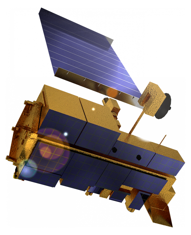
The space segment of the platform, and the direction we are building toward: our own Earth-observation capacity and in-orbit intelligence. The architecture is already body-aware and constellation-ready — multi-CRS, per-body partitioning, snapshot semantics across sites, and a tasking contract that extends to spacecraft as both source and taskable asset — so a future constellation plugs into the same provenance, licensing and tasking contracts every product above already obeys.
Every status on this page is checkable. The platform publishes its own capability register at api.orbivigil.com/capabilities — live, beta or planned, per product and per market, computed at the moment you read it. If a card here says live, that register says live.
The unified platform: every hazard product, every data layer, one consistent map and event model.
The operations centre analysts and agencies use to monitor events, validate detections and coordinate response.
Programmatic access to detections, forecasts and alerts for insurers, utilities and platform integrators.
No single sensor is trusted alone. OrbiVigil fuses public and institutional satellite and weather data, and every figure it serves carries the source it came from.
Continuous observation of Europe, the Mediterranean and Africa, day and night.
Global near-real-time active-fire information and Earth imagery, in the public domain and delivered fast enough to matter in the first hour of an event.
Observation that works at night and through cloud, alongside optical and thermal observation of what an event left behind.
Official weather-model output and forest-fire danger, published under open licences by the national meteorological services of the countries we cover.
National meteorological warnings relayed exactly as issued, with the issuing service’s own levels and update time — OrbiVigil carries them, it does not issue them.
What lets a weather-driven figure carry an honest uncertainty range instead of a single confident number.
Public fire-danger and post-event services, used as an independent cross-check on what we measure ourselves.
OrbiVigil is built for the agentic era: everything the map shows, a machine can read. The same JSON that answers an AI agent is the contract Physical AI — drones and ground robots — will act on; that asset adapter is on the roadmap, and this page will say so until it serves.
Confidence-scored fire events, observations, wind and danger layers as clean, edge-cached JSON — the same data the live map renders, ready for any agent, pipeline or model to consume.
A Model Context Protocol server exposing fire events, danger ratings and data freshness as tools — so Claude and other AI assistants can query live wildfire intelligence directly. No account needed; connect your assistant to:
https://mcp.orbivigil.com/mcp
Machine-readable provenance, data age and a confidence level on every payload, with sources cross-checked against each other. Agents get the same honesty humans do: nothing is ever presented as live or certain when it is not.
How OrbiVigil turns a raw satellite hotspot into a verified fire event, and why fusion matters.
Read more →Tracking fire risk, spread and damage across the full lifecycle of a wildfire, from space.
Read more →The physics and sensors behind thermal fire detection, from brightness temperature to fire radiative power.
Read more →Why early warning depends on fused, uncertainty-aware data — and how it reaches the people who act on it.
Read more →Questions, partnerships, press, or institutional access — write here and a human answers. We publish no email address anywhere on this site; this form is the way in.